Woodstock House, Cowbridge
Introduction
The photograph on this page of Woodstock House, Cowbridge by Jaggery as part of the Geograph project.
The Geograph project started in 2005 with the aim of publishing, organising and preserving representative images for every square kilometre of Great Britain, Ireland and the Isle of Man.

There are currently over 7.5m images from over 14,400 individuals and you can help contribute to the project by visiting https://www.geograph.org.uk
Woodstock House, Cowbridge
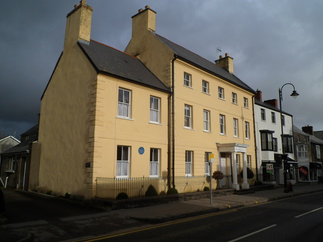
Image: © Jaggery Taken: 19 Jan 2012
A blue plaque is on Woodstock House, 83 High Street Cowbridge. Built as a town house in the 18th century, it is now divided into flats.
Images are licensed for reuse under creativecommons.org/licenses/by-sa/2.0
Image Location
Latitude
51.462555
Longitude
-3.450937