Hangman's Brae, shelter belt
Introduction
The photograph on this page of Hangman's Brae, shelter belt by Robert Murray as part of the Geograph project.
The Geograph project started in 2005 with the aim of publishing, organising and preserving representative images for every square kilometre of Great Britain, Ireland and the Isle of Man.

There are currently over 7.5m images from over 14,400 individuals and you can help contribute to the project by visiting https://www.geograph.org.uk
Hangman's Brae, shelter belt
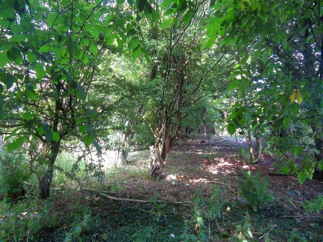
Image: © Robert Murray Taken: 25 Aug 2013
This photo was taken to record this little ancient woodland planted before 1750 (it appears on William Roy's map of the Lowlands of that year) that originally formed the boundary of the Blackyairds/Calderbank Estate. How much longer it will last is anybody's guess.
Images are licensed for reuse under creativecommons.org/licenses/by-sa/2.0
Image Location
Latitude
55.844313
Longitude
-4.111452