Up Hirwaun Place, Tylorstown
Introduction
The photograph on this page of Up Hirwaun Place, Tylorstown by Jaggery as part of the Geograph project.
The Geograph project started in 2005 with the aim of publishing, organising and preserving representative images for every square kilometre of Great Britain, Ireland and the Isle of Man.

There are currently over 7.5m images from over 14,400 individuals and you can help contribute to the project by visiting https://www.geograph.org.uk
Up Hirwaun Place, Tylorstown
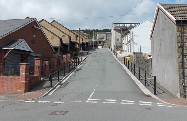
Image: © Jaggery Taken: 20 Aug 2013
Looking up Hirwaun Place from Edmund Street towards the A4233 East Road. Tylorstown Band's bandroom http://www.geograph.org.uk/photo/3622796 is on the left corner.
Images are licensed for reuse under creativecommons.org/licenses/by-sa/2.0
Image Location
Latitude
51.650818
Longitude
-3.431357