Heritage trail marker, Twyn Star, Dukestown, Tredegar
Introduction
The photograph on this page of Heritage trail marker, Twyn Star, Dukestown, Tredegar by Robin Drayton as part of the Geograph project.
The Geograph project started in 2005 with the aim of publishing, organising and preserving representative images for every square kilometre of Great Britain, Ireland and the Isle of Man.

There are currently over 7.5m images from over 14,400 individuals and you can help contribute to the project by visiting https://www.geograph.org.uk
Heritage trail marker, Twyn Star, Dukestown, Tredegar
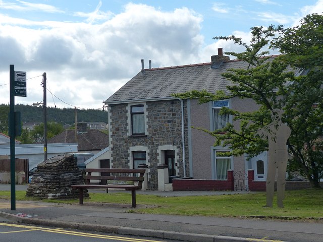
Image: © Robin Drayton Taken: 2 Aug 2013
The trail marker for John Rees 'Jack the Fifer', who was one of the leaders of the Chartist Uprising in 1839, is on the right http://www.geograph.org.uk/photo/3613034 . The Chartist Memorial is on the left http://www.geograph.org.uk/photo/3191425 .
Images are licensed for reuse under creativecommons.org/licenses/by-sa/2.0
Image Location
Latitude
51.787135
Longitude
-3.249945