Risdon
Introduction
The photograph on this page of Risdon by Derek Harper as part of the Geograph project.
The Geograph project started in 2005 with the aim of publishing, organising and preserving representative images for every square kilometre of Great Britain, Ireland and the Isle of Man.

There are currently over 7.5m images from over 14,400 individuals and you can help contribute to the project by visiting https://www.geograph.org.uk
Risdon
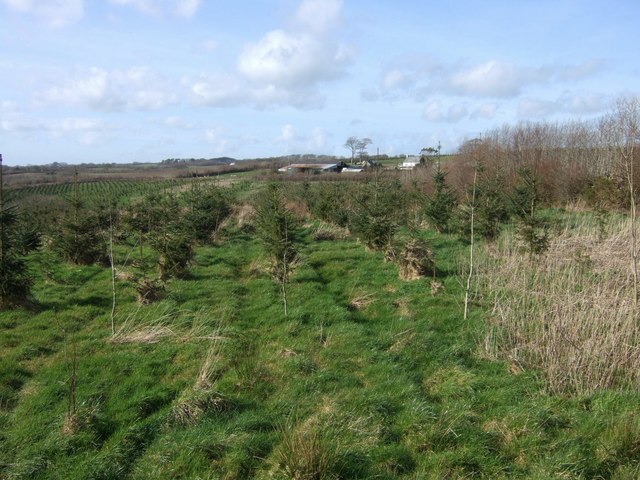
Image: © Derek Harper Taken: 10 Mar 2007
A recent conifer plantation by the lane from Boasley Cross to Bratton Clovelly is beginning to obscure the view of the farm at Risdon. The small wooded valley that crosses the scene at right angles on this side of the farm is completely hidden.
Images are licensed for reuse under creativecommons.org/licenses/by-sa/2.0
Image Location
Latitude
50.723328
Longitude
-4.136382