Mosaic map by Rowland Emett
Introduction
The photograph on this page of Mosaic map by Rowland Emett by Graham Hale as part of the Geograph project.
The Geograph project started in 2005 with the aim of publishing, organising and preserving representative images for every square kilometre of Great Britain, Ireland and the Isle of Man.

There are currently over 7.5m images from over 14,400 individuals and you can help contribute to the project by visiting https://www.geograph.org.uk
Mosaic map by Rowland Emett
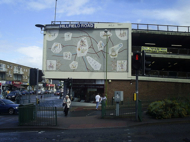
Image: © Graham Hale Taken: 1 Jan 2010
Symbolic map of Hemel Hempstead and its neighbours by the artist Rowland Emett. Entitled 'Tile Mosaic Map' it was erected in 1960 on the side of what is claimed to be the first multi storey car park in the UK.
Images are licensed for reuse under creativecommons.org/licenses/by-sa/2.0
Image Location
Latitude
51.752744
Longitude
-0.472027