Cycle route 881 Pontygwaith
Introduction
The photograph on this page of Cycle route 881 Pontygwaith by Jaggery as part of the Geograph project.
The Geograph project started in 2005 with the aim of publishing, organising and preserving representative images for every square kilometre of Great Britain, Ireland and the Isle of Man.

There are currently over 7.5m images from over 14,400 individuals and you can help contribute to the project by visiting https://www.geograph.org.uk
Cycle route 881 Pontygwaith
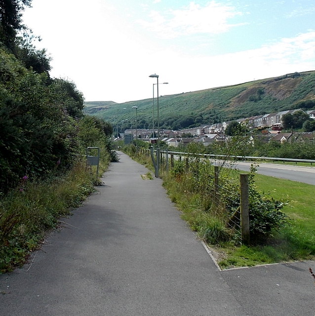
Image: © Jaggery Taken: 8 Aug 2013
National Cycle Network route 881 heads south alongside the A4233 in Pontygwaith. A nearby signpost http://www.geograph.org.uk/photo/3598881 shows that this is the way to Wattstown, Ynyshir and Porth. Old maps show that this was the location of Tylorstown railway station, where passenger services ceased in 1964.
Images are licensed for reuse under creativecommons.org/licenses/by-sa/2.0
Image Location
Latitude
51.639844
Longitude
-3.431734