Flats, Upper Union Street, Aldershot
Introduction
The photograph on this page of Flats, Upper Union Street, Aldershot by Humphrey Bolton as part of the Geograph project.
The Geograph project started in 2005 with the aim of publishing, organising and preserving representative images for every square kilometre of Great Britain, Ireland and the Isle of Man.

There are currently over 7.5m images from over 14,400 individuals and you can help contribute to the project by visiting https://www.geograph.org.uk
Flats, Upper Union Street, Aldershot
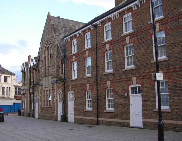
Image: © Humphrey Bolton Taken: 3 Mar 2007
I have been informed that the building on the right is quite recent, despite the 19C architectural details. The next building looks to be converted from a 19C chapel.
Images are licensed for reuse under creativecommons.org/licenses/by-sa/2.0
Image Location
Latitude
51.248982
Longitude
-0.767757