Ettingshall Road, Wolverhampton
Introduction
The photograph on this page of Ettingshall Road, Wolverhampton by Roger D Kidd as part of the Geograph project.
The Geograph project started in 2005 with the aim of publishing, organising and preserving representative images for every square kilometre of Great Britain, Ireland and the Isle of Man.

There are currently over 7.5m images from over 14,400 individuals and you can help contribute to the project by visiting https://www.geograph.org.uk
Ettingshall Road, Wolverhampton
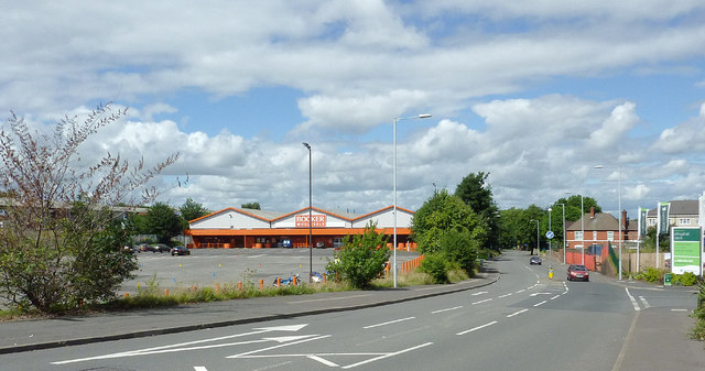
Image: © Roger D Kidd Taken: 11 Aug 2013
This is the A4126 looking towards Priestfield. On the left is Booker's food wholesale store. The car park is used on Sundays by the nearby motor cycle training group, hence the coloured cones.
Images are licensed for reuse under creativecommons.org/licenses/by-sa/2.0
Image Location
Latitude
52.56952
Longitude
-2.101907