West End, Great Eccleston
Introduction
The photograph on this page of West End, Great Eccleston by philandju as part of the Geograph project.
The Geograph project started in 2005 with the aim of publishing, organising and preserving representative images for every square kilometre of Great Britain, Ireland and the Isle of Man.

There are currently over 7.5m images from over 14,400 individuals and you can help contribute to the project by visiting https://www.geograph.org.uk
West End, Great Eccleston
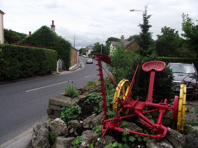
Image: © philandju Taken: 6 Aug 2013
Looking along High Street. The antique agricultural machine stands outside an ironmongers shop.
Images are licensed for reuse under creativecommons.org/licenses/by-sa/2.0
Image Location
Latitude
53.854738
Longitude
-2.875779