Upper Dolfor Road, Newtown
Introduction
The photograph on this page of Upper Dolfor Road, Newtown by Jaggery as part of the Geograph project.
The Geograph project started in 2005 with the aim of publishing, organising and preserving representative images for every square kilometre of Great Britain, Ireland and the Isle of Man.

There are currently over 7.5m images from over 14,400 individuals and you can help contribute to the project by visiting https://www.geograph.org.uk
Upper Dolfor Road, Newtown
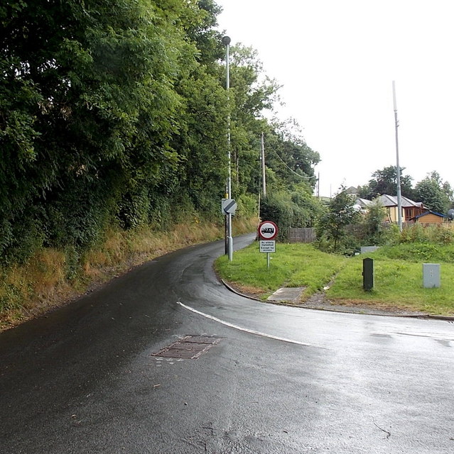
Image: © Jaggery Taken: 4 Aug 2013
At the southern edge of Newtown, Upper Dolfor Road diverges from the A483 Dolfor Road. The circular sign with a red edge shows that vehicles weighing more than 7.5 tonnes are prohibited, except for access.
Images are licensed for reuse under creativecommons.org/licenses/by-sa/2.0
Image Location
Latitude
52.505583
Longitude
-3.318263