Houses at East Hedleyhope
Introduction
The photograph on this page of Houses at East Hedleyhope by Robert Graham as part of the Geograph project.
The Geograph project started in 2005 with the aim of publishing, organising and preserving representative images for every square kilometre of Great Britain, Ireland and the Isle of Man.

There are currently over 7.5m images from over 14,400 individuals and you can help contribute to the project by visiting https://www.geograph.org.uk
Houses at East Hedleyhope
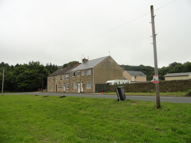
Image: © Robert Graham Taken: 10 Jul 2013
These houses, along with 2 terraced streets, are all that remain of this former mining village west of Esh Winning. Old maps indicate an Inn at this spot, but I don't know if any of these houses used to be the village pub.
Images are licensed for reuse under creativecommons.org/licenses/by-sa/2.0
Image Location
Latitude
54.756597
Longitude
-1.760057