Bench and barrier, National Cycle Network route 467, Hollybush
Introduction
The photograph on this page of Bench and barrier, National Cycle Network route 467, Hollybush by Jaggery as part of the Geograph project.
The Geograph project started in 2005 with the aim of publishing, organising and preserving representative images for every square kilometre of Great Britain, Ireland and the Isle of Man.

There are currently over 7.5m images from over 14,400 individuals and you can help contribute to the project by visiting https://www.geograph.org.uk
Bench and barrier, National Cycle Network route 467, Hollybush
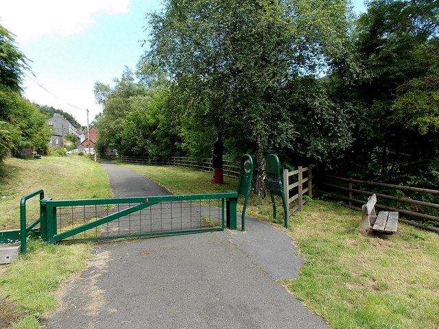
Image: © Jaggery Taken: 1 Aug 2013
This is the route of a dismantled railway near the former Holly Bush railway station (ahead). The name on the barrier is HOLLYBUSH VILLAGE. The dark figure on the right behind the barrier is a statue. http://www.geograph.org.uk/photo/3580436
Images are licensed for reuse under creativecommons.org/licenses/by-sa/2.0
Image Location
Latitude
51.722285
Longitude
-3.208921