The A40 Northern Bypass, Headington
Introduction
The photograph on this page of The A40 Northern Bypass, Headington by David Howard as part of the Geograph project.
The Geograph project started in 2005 with the aim of publishing, organising and preserving representative images for every square kilometre of Great Britain, Ireland and the Isle of Man.

There are currently over 7.5m images from over 14,400 individuals and you can help contribute to the project by visiting https://www.geograph.org.uk
The A40 Northern Bypass, Headington
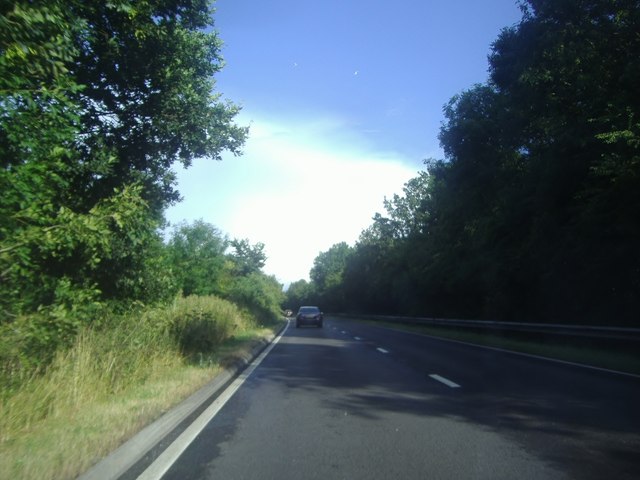
Image: © David Howard Taken: 29 Jul 2013
This part of the A40 forms one side of the Oxford Ring Road, which contains most but not all of the built up area.
Images are licensed for reuse under creativecommons.org/licenses/by-sa/2.0
Image Location
Latitude
51.76675
Longitude
-1.208019