Track to RPC
Introduction
The photograph on this page of Track to RPC by David Luther Thomas as part of the Geograph project.
The Geograph project started in 2005 with the aim of publishing, organising and preserving representative images for every square kilometre of Great Britain, Ireland and the Isle of Man.

There are currently over 7.5m images from over 14,400 individuals and you can help contribute to the project by visiting https://www.geograph.org.uk
Track to RPC
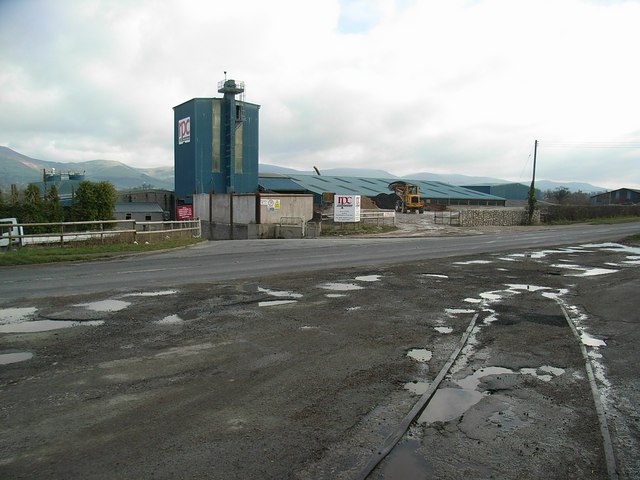
Image: © David Luther Thomas Taken: 17 Feb 2007
Part of a disused railway line (that presumably served the quarry) remains to the side of the A525, near to the RPC works.
Images are licensed for reuse under creativecommons.org/licenses/by-sa/2.0
Image Location
Latitude
53.123432
Longitude
-3.329923