Pennine view below Far Hey Head
Introduction
The photograph on this page of Pennine view below Far Hey Head by Bill Boaden as part of the Geograph project.
The Geograph project started in 2005 with the aim of publishing, organising and preserving representative images for every square kilometre of Great Britain, Ireland and the Isle of Man.

There are currently over 7.5m images from over 14,400 individuals and you can help contribute to the project by visiting https://www.geograph.org.uk
Pennine view below Far Hey Head
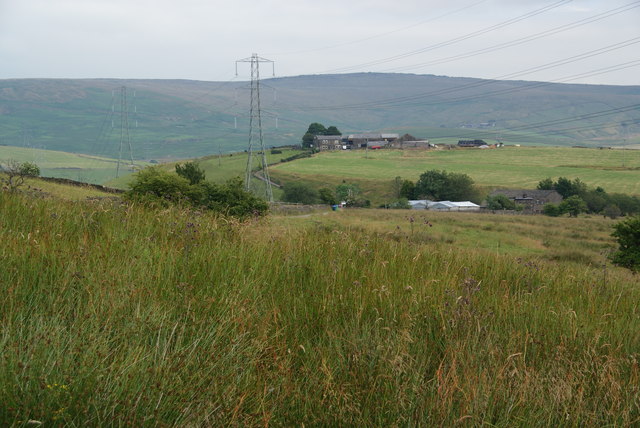
Image: © Bill Boaden Taken: 20 Jul 2013
This has most of the Pennine elements: coarse moorland grass, a hilltop farm (it is called Hill Top Farm), a moorland edge (Blackstone Edge) but most importantly, a line of pylons.
Images are licensed for reuse under creativecommons.org/licenses/by-sa/2.0
Image Location
Latitude
53.656118
Longitude
-2.093168