Junction for Glenville
Introduction
The photograph on this page of Junction for Glenville by David Smith as part of the Geograph project.
The Geograph project started in 2005 with the aim of publishing, organising and preserving representative images for every square kilometre of Great Britain, Ireland and the Isle of Man.

There are currently over 7.5m images from over 14,400 individuals and you can help contribute to the project by visiting https://www.geograph.org.uk
Junction for Glenville
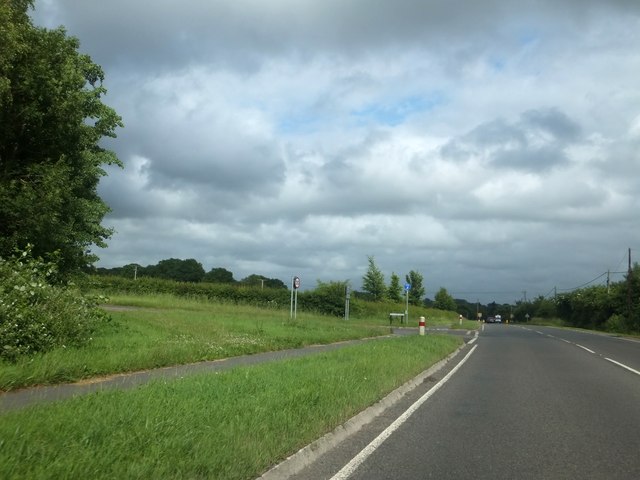
Image: © David Smith Taken: 22 Jun 2013
The verge is wide on each side of the junction, to give a clear view of the traffic. The verge in the foreground has been formed by straightening the junction, which formerly joined the road just ahead of the photographer.
Images are licensed for reuse under creativecommons.org/licenses/by-sa/2.0
Image Location
Latitude
51.028414
Longitude
-1.518263