St Nonna's church, Altarnun
Introduction
The photograph on this page of St Nonna's church, Altarnun by Mike Searle as part of the Geograph project.
The Geograph project started in 2005 with the aim of publishing, organising and preserving representative images for every square kilometre of Great Britain, Ireland and the Isle of Man.

There are currently over 7.5m images from over 14,400 individuals and you can help contribute to the project by visiting https://www.geograph.org.uk
St Nonna's church, Altarnun
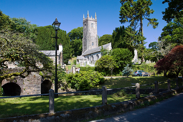
Image: © Mike Searle Taken: 8 Jul 2013
The 3 stage west tower is 97 feet high, but fails to dominate in every direction, being set against a slope. Despite that, the church enjoys a most attractive setting within the village, being located by an ancient bridge over a stream. The church is most well known for its seventy-nine C16 bench-ends.
Images are licensed for reuse under creativecommons.org/licenses/by-sa/2.0
Image Location
Latitude
50.604729
Longitude
-4.513168