Lee Lane looking towards the site of the level crossing
Introduction
The photograph on this page of Lee Lane looking towards the site of the level crossing by Alan Murray-Rust as part of the Geograph project.
The Geograph project started in 2005 with the aim of publishing, organising and preserving representative images for every square kilometre of Great Britain, Ireland and the Isle of Man.

There are currently over 7.5m images from over 14,400 individuals and you can help contribute to the project by visiting https://www.geograph.org.uk
Lee Lane looking towards the site of the level crossing
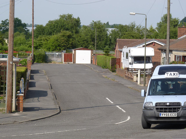
Image: © Alan Murray-Rust Taken: 13 Jul 2013
The level crossing was replaced by an underbridge http://www.geograph.org.uk/photo/3556294 when the Erewash Valley line was widened to 4 tracks in the early 20th century.
Images are licensed for reuse under creativecommons.org/licenses/by-sa/2.0
Image Location
Latitude
53.012744
Longitude
-1.32924