View along Tail Upon End Road
Introduction
The photograph on this page of View along Tail Upon End Road by Robert Graham as part of the Geograph project.
The Geograph project started in 2005 with the aim of publishing, organising and preserving representative images for every square kilometre of Great Britain, Ireland and the Isle of Man.

There are currently over 7.5m images from over 14,400 individuals and you can help contribute to the project by visiting https://www.geograph.org.uk
View along Tail Upon End Road
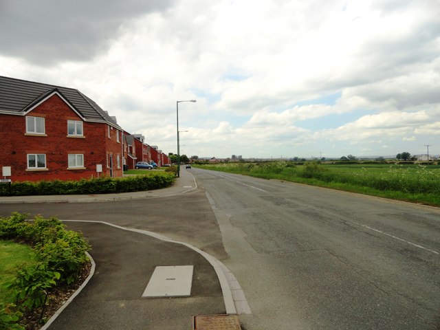
Image: © Robert Graham Taken: 19 Jun 2013
This wonderfully named lane runs along the northern edge of Bowburn village, south of Durham. Although flanked by a modern housing estate, it is of much older origin and is shown on the first O D map from the 1860's.
Images are licensed for reuse under creativecommons.org/licenses/by-sa/2.0
Image Location
Latitude
54.742322
Longitude
-1.52171