Houses at the southern edge of Tredegar
Introduction
The photograph on this page of Houses at the southern edge of Tredegar by Jaggery as part of the Geograph project.
The Geograph project started in 2005 with the aim of publishing, organising and preserving representative images for every square kilometre of Great Britain, Ireland and the Isle of Man.

There are currently over 7.5m images from over 14,400 individuals and you can help contribute to the project by visiting https://www.geograph.org.uk
Houses at the southern edge of Tredegar
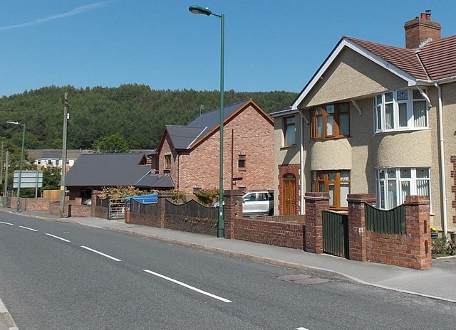
Image: © Jaggery Taken: 6 Jul 2013
Viewed across Pochin Crescent near Heathfield Roundabout. http://www.geograph.org.uk/photo/3542960 The detached house centre left was built c2009.
Images are licensed for reuse under creativecommons.org/licenses/by-sa/2.0
Image Location
Latitude
51.758371
Longitude
-3.232053