Cae Linda, Trimsaran
Introduction
The photograph on this page of Cae Linda, Trimsaran by Richard Dorrell as part of the Geograph project.
The Geograph project started in 2005 with the aim of publishing, organising and preserving representative images for every square kilometre of Great Britain, Ireland and the Isle of Man.

There are currently over 7.5m images from over 14,400 individuals and you can help contribute to the project by visiting https://www.geograph.org.uk
Cae Linda, Trimsaran
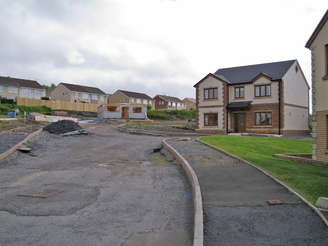
Image: © Richard Dorrell Taken: 15 Jun 2013
This entire development site of a cul-de-sac of seven detached houses (most not yet built) is currently for sale.
Images are licensed for reuse under creativecommons.org/licenses/by-sa/2.0
Image Location
Latitude
51.716694
Longitude
-4.239207