Trimsaran Miners Welfare Hall
Introduction
The photograph on this page of Trimsaran Miners Welfare Hall by Richard Dorrell as part of the Geograph project.
The Geograph project started in 2005 with the aim of publishing, organising and preserving representative images for every square kilometre of Great Britain, Ireland and the Isle of Man.

There are currently over 7.5m images from over 14,400 individuals and you can help contribute to the project by visiting https://www.geograph.org.uk
Trimsaran Miners Welfare Hall
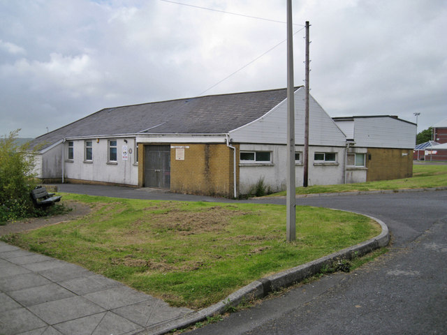
Image: © Richard Dorrell Taken: 15 Jun 2013
The 1960s built hall is available for use by local community groups.
Images are licensed for reuse under creativecommons.org/licenses/by-sa/2.0
Image Location
Latitude
51.720421
Longitude
-4.241853