Greenock Water
Introduction
The photograph on this page of Greenock Water by Bob Forrest as part of the Geograph project.
The Geograph project started in 2005 with the aim of publishing, organising and preserving representative images for every square kilometre of Great Britain, Ireland and the Isle of Man.

There are currently over 7.5m images from over 14,400 individuals and you can help contribute to the project by visiting https://www.geograph.org.uk
Greenock Water
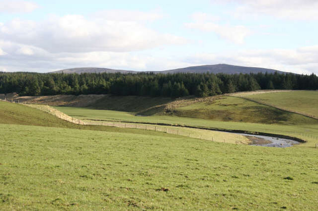
Image: © Bob Forrest Taken: 26 Feb 2007
Contrasting land uses between the south facing side of the valley where the improved grassland provides grazing for sheep and in the summer for beef cattle and the dense coniferous plantation along the colder,north facing surface of the river terrace.
Images are licensed for reuse under creativecommons.org/licenses/by-sa/2.0
Image Location
Latitude
55.530225
Longitude
-4.115503