Amman valley cycleway
Introduction
The photograph on this page of Amman valley cycleway by Nigel Davies as part of the Geograph project.
The Geograph project started in 2005 with the aim of publishing, organising and preserving representative images for every square kilometre of Great Britain, Ireland and the Isle of Man.

There are currently over 7.5m images from over 14,400 individuals and you can help contribute to the project by visiting https://www.geograph.org.uk
Amman valley cycleway
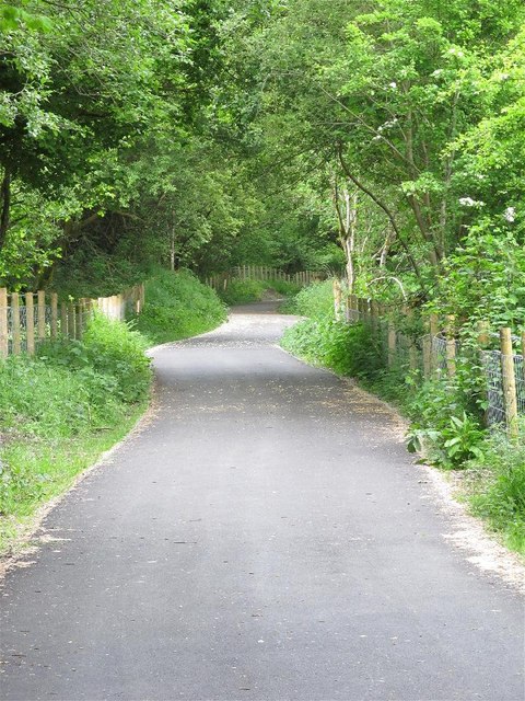
Image: © Nigel Davies Taken: 9 Jun 2013
This is a relatively recently completed section of the Amman valley cycleway. Other sections either side of it have existed for longer. See Image for a view (in the opposite direction) of the dismantled railway that this section is built on.
Images are licensed for reuse under creativecommons.org/licenses/by-sa/2.0
Image Location


Leaflet Map data © OpenStreetMap
Latitude
51.803685
Longitude
-3.894817