The Wrong Farm!
Introduction
The photograph on this page of The Wrong Farm! by Peter Trimming as part of the Geograph project.
The Geograph project started in 2005 with the aim of publishing, organising and preserving representative images for every square kilometre of Great Britain, Ireland and the Isle of Man.

There are currently over 7.5m images from over 14,400 individuals and you can help contribute to the project by visiting https://www.geograph.org.uk
The Wrong Farm!
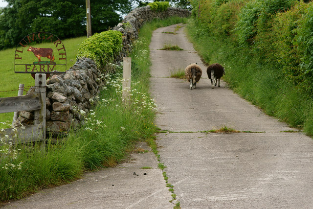
Image: © Peter Trimming Taken: 16 Jun 2013
Leaving the road; the sheep had obviously not read the sign, indicating that Plumgarth is a dairy farm. In the Eskdale Valley, close to Eskdale Green.
Images are licensed for reuse under creativecommons.org/licenses/by-sa/2.0
Image Location
Latitude
54.390109
Longitude
-3.347618