Sneinton: Thurgarton Street
Introduction
The photograph on this page of Sneinton: Thurgarton Street by John Sutton as part of the Geograph project.
The Geograph project started in 2005 with the aim of publishing, organising and preserving representative images for every square kilometre of Great Britain, Ireland and the Isle of Man.

There are currently over 7.5m images from over 14,400 individuals and you can help contribute to the project by visiting https://www.geograph.org.uk
Sneinton: Thurgarton Street
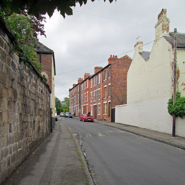
Image: © John Sutton Taken: 13 Jun 2013
The stone wall to the left and the painted brick house to the right pre-date the three-storey terrace so typical of those built during the city's rapid expansion in the last quarter of the nineteenth century.
Images are licensed for reuse under creativecommons.org/licenses/by-sa/2.0
Image Location
Latitude
52.950483
Longitude
-1.12704