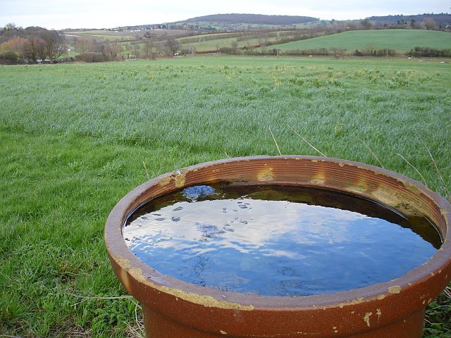
View to Hernhill and the Blean
Introduction
The photograph on this page of View to Hernhill and the Blean by Penny Mayes as part of the Geograph project.
The Geograph project started in 2005 with the aim of publishing, organising and preserving representative images for every square kilometre of Great Britain, Ireland and the Isle of Man.
There are currently over 7.5m images from over 14,400 individuals and you can help contribute to the project by visiting https://www.geograph.org.uk

Image: © Penny Mayes Taken: 26 Feb 2007
Most of the land visible is in this square. The field looks like it may be a future hay or silage crop and it runs down to a small stream at the bottom of the valley. I've no idea why this section of pipe has been left at the edge of the field. Hernhill Image is the settlement on the horizon left of centre while the wooded Blean, the main landmark in these parts is in the centre. Its highest point is only 108m Image but it visible for miles around.

