Reading Rd Roundabout.
Introduction
The photograph on this page of Reading Rd Roundabout. by Nigel Mykura as part of the Geograph project.
The Geograph project started in 2005 with the aim of publishing, organising and preserving representative images for every square kilometre of Great Britain, Ireland and the Isle of Man.

There are currently over 7.5m images from over 14,400 individuals and you can help contribute to the project by visiting https://www.geograph.org.uk
Reading Rd Roundabout.
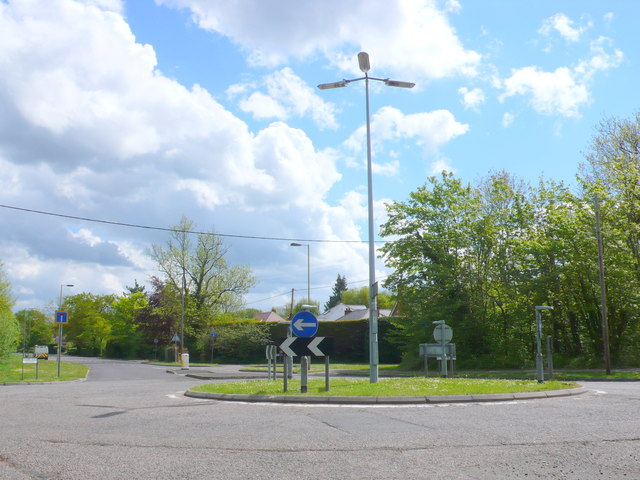
Image: © Nigel Mykura Taken: 16 May 2013
The Reading road used to be one of the main routes out of Basingstoke but it is now residential and a dead end. This roundabout is at its junction with Thornhill Way.
Images are licensed for reuse under creativecommons.org/licenses/by-sa/2.0
Image Location
Latitude
51.290125
Longitude
-1.053332