Brook House
Introduction
The photograph on this page of Brook House by Simon Carey as part of the Geograph project.
The Geograph project started in 2005 with the aim of publishing, organising and preserving representative images for every square kilometre of Great Britain, Ireland and the Isle of Man.

There are currently over 7.5m images from over 14,400 individuals and you can help contribute to the project by visiting https://www.geograph.org.uk
Brook House
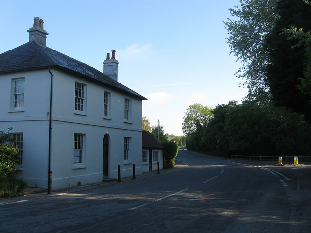
Image: © Simon Carey Taken: 27 May 2013
Located at the junction of London Road and School Lane the house dates from 1830. The road on the right is the old course of The Pike, the road to Steyning, replaced in the late 1960s by the current layout.
Images are licensed for reuse under creativecommons.org/licenses/by-sa/2.0
Image Location
Latitude
50.905212
Longitude
-0.405073