A286/A272 Junction, Easebourne.
Introduction
The photograph on this page of A286/A272 Junction, Easebourne. by Robin Webster as part of the Geograph project.
The Geograph project started in 2005 with the aim of publishing, organising and preserving representative images for every square kilometre of Great Britain, Ireland and the Isle of Man.

There are currently over 7.5m images from over 14,400 individuals and you can help contribute to the project by visiting https://www.geograph.org.uk
A286/A272 Junction, Easebourne.
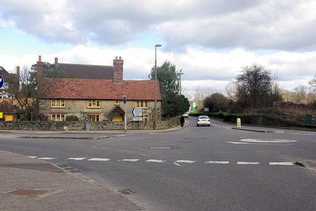
Image: © Robin Webster Taken: 26 Feb 2007
The A286 turns left. The yellow paint scheme of the cottage on the corner marks it as owned by the Cowdray Estate.
Images are licensed for reuse under creativecommons.org/licenses/by-sa/2.0
Image Location
Latitude
50.991434
Longitude
-0.733838