Ordnance Survey Trig Pillar S1645
Introduction
The photograph on this page of Ordnance Survey Trig Pillar S1645 by Peter Wood as part of the Geograph project.
The Geograph project started in 2005 with the aim of publishing, organising and preserving representative images for every square kilometre of Great Britain, Ireland and the Isle of Man.

There are currently over 7.5m images from over 14,400 individuals and you can help contribute to the project by visiting https://www.geograph.org.uk
Ordnance Survey Trig Pillar S1645
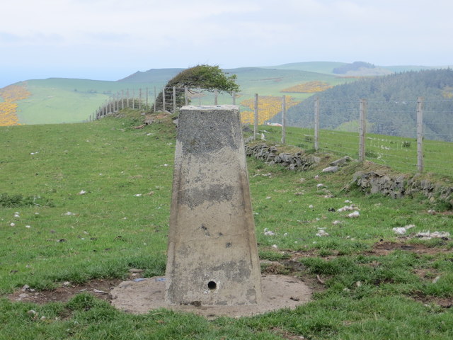
Image: © Peter Wood Taken: 18 May 2013
This pillar is on the hill top near Penglais
Images are licensed for reuse under creativecommons.org/licenses/by-sa/2.0
Image Location


Leaflet Map data © OpenStreetMap
Latitude
52.429916
Longitude
-4.071506