The A66 passing through central Middlesbrough
Introduction
The photograph on this page of The A66 passing through central Middlesbrough by Peter Robinson as part of the Geograph project.
The Geograph project started in 2005 with the aim of publishing, organising and preserving representative images for every square kilometre of Great Britain, Ireland and the Isle of Man.

There are currently over 7.5m images from over 14,400 individuals and you can help contribute to the project by visiting https://www.geograph.org.uk
The A66 passing through central Middlesbrough
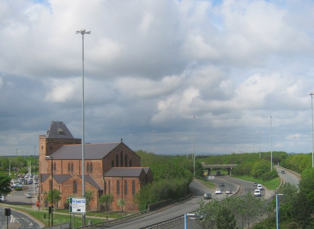
Image: © Peter Robinson Taken: 22 May 2013
The Church of St Columba in Wilson Street is adjacent
Images are licensed for reuse under creativecommons.org/licenses/by-sa/2.0
Image Location
Latitude
54.578238
Longitude
-1.242685