Farmland beside the Kinnaird Burn
Introduction
The photograph on this page of Farmland beside the Kinnaird Burn by Richard Webb as part of the Geograph project.
The Geograph project started in 2005 with the aim of publishing, organising and preserving representative images for every square kilometre of Great Britain, Ireland and the Isle of Man.

There are currently over 7.5m images from over 14,400 individuals and you can help contribute to the project by visiting https://www.geograph.org.uk
Farmland beside the Kinnaird Burn
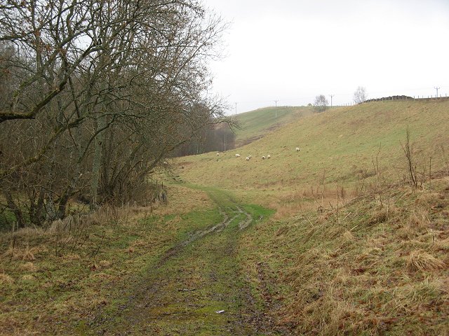
Image: © Richard Webb Taken: 24 Feb 2007
Land is cultivated up to quite high altitudes here. This long narrow field with grazing sheep covers steep ground beside the burn.
Images are licensed for reuse under creativecommons.org/licenses/by-sa/2.0
Image Location
Latitude
56.713176
Longitude
-3.704202