Farm road to Poadmarsh
Introduction
The photograph on this page of Farm road to Poadmarsh by Derek Harper as part of the Geograph project.
The Geograph project started in 2005 with the aim of publishing, organising and preserving representative images for every square kilometre of Great Britain, Ireland and the Isle of Man.

There are currently over 7.5m images from over 14,400 individuals and you can help contribute to the project by visiting https://www.geograph.org.uk
Farm road to Poadmarsh
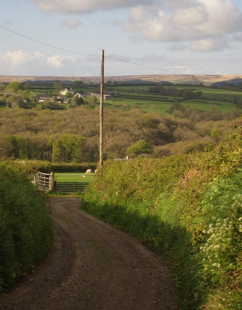
Image: © Derek Harper Taken: 15 May 2013
A detail of the view in Image], to where the bridleway swings sharply right. The farms in the background are West and East Welland, in Image and Image respectively.
Images are licensed for reuse under creativecommons.org/licenses/by-sa/2.0
Image Location
Latitude
50.990967
Longitude
-3.717599