Cliffs and the eastern edge of a lake near Rhoose Point
Introduction
The photograph on this page of Cliffs and the eastern edge of a lake near Rhoose Point by Jaggery as part of the Geograph project.
The Geograph project started in 2005 with the aim of publishing, organising and preserving representative images for every square kilometre of Great Britain, Ireland and the Isle of Man.

There are currently over 7.5m images from over 14,400 individuals and you can help contribute to the project by visiting https://www.geograph.org.uk
Cliffs and the eastern edge of a lake near Rhoose Point
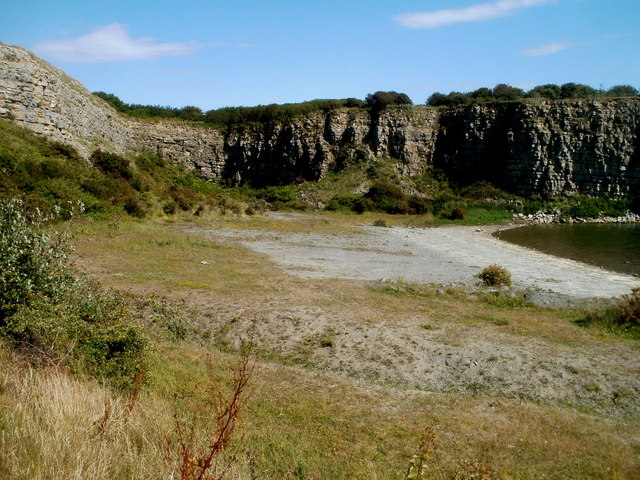
Image: © Jaggery Taken: 11 Jun 2011
Viewed from Bryn y Gloyn. The Bristol Channel coast is on the far side of the cliffs.
Images are licensed for reuse under creativecommons.org/licenses/by-sa/2.0
Image Location
Latitude
51.382521
Longitude
-3.337898