Sandgate Quarry
Introduction
The photograph on this page of Sandgate Quarry by Simon Carey as part of the Geograph project.
The Geograph project started in 2005 with the aim of publishing, organising and preserving representative images for every square kilometre of Great Britain, Ireland and the Isle of Man.

There are currently over 7.5m images from over 14,400 individuals and you can help contribute to the project by visiting https://www.geograph.org.uk
Sandgate Quarry
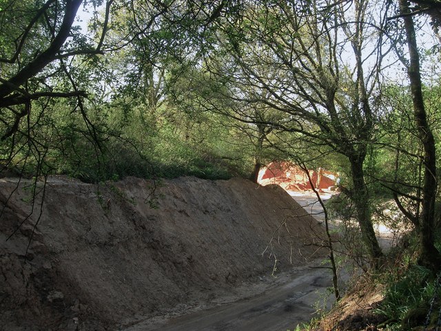
Image: © Simon Carey Taken: 6 May 2013
Looking into the entrance from Hampers Lane and looking towards a big pile of sand which is quarried here. Much of the current quarry was originally the grounds of Sandgate Park whose last inhabitant died in 1946 whereupon the land was purchased for quarrying which it still is today.
Images are licensed for reuse under creativecommons.org/licenses/by-sa/2.0
Image Location
Latitude
50.913129
Longitude
-0.425144