Lane running south near The Springs
Introduction
The photograph on this page of Lane running south near The Springs by John Haynes as part of the Geograph project.
The Geograph project started in 2005 with the aim of publishing, organising and preserving representative images for every square kilometre of Great Britain, Ireland and the Isle of Man.

There are currently over 7.5m images from over 14,400 individuals and you can help contribute to the project by visiting https://www.geograph.org.uk
Lane running south near The Springs
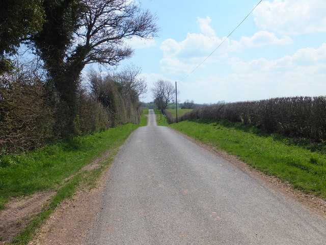
Image: © John Haynes Taken: 7 May 2013
The Springs is a nearby farm and this lane is heading towards Oswestry and probably originated as a drove road across the nearby Berwyn Mountains.
Images are licensed for reuse under creativecommons.org/licenses/by-sa/2.0
Image Location
Latitude
52.885059
Longitude
-3.116926