Crossing Appenine Way
Introduction
The photograph on this page of Crossing Appenine Way by Des Blenkinsopp as part of the Geograph project.
The Geograph project started in 2005 with the aim of publishing, organising and preserving representative images for every square kilometre of Great Britain, Ireland and the Isle of Man.

There are currently over 7.5m images from over 14,400 individuals and you can help contribute to the project by visiting https://www.geograph.org.uk
Crossing Appenine Way
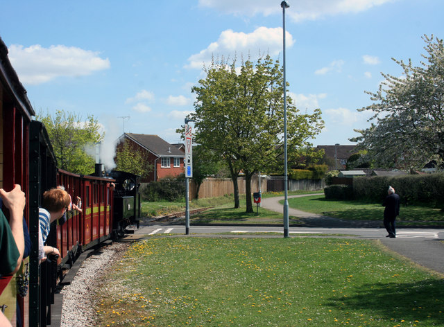
Image: © Des Blenkinsopp Taken: 6 May 2013
Unlike most heritage lines, the Leighton Buzzard Narrow Gauge Railway follows an urban route for much of its length. It goes between houses and factories, runs beside suburban streets and crosses several roads.
Images are licensed for reuse under creativecommons.org/licenses/by-sa/2.0
Image Location
Latitude
51.92324
Longitude
-0.641771