Marfield Wetlands
Introduction
The photograph on this page of Marfield Wetlands by Oliver Dixon as part of the Geograph project.
The Geograph project started in 2005 with the aim of publishing, organising and preserving representative images for every square kilometre of Great Britain, Ireland and the Isle of Man.

There are currently over 7.5m images from over 14,400 individuals and you can help contribute to the project by visiting https://www.geograph.org.uk
Marfield Wetlands
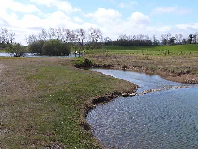
Image: © Oliver Dixon Taken: 5 May 2013
Old gravel pits which are now a local nature reserve. Looking south-east along the central strip of land between lakes on either side. There is a voluntary closure of this central path during the nesting season; and steps are being taken to officially close this path in favour of a perimeter path which will cause less disturbance to wildlife.
Images are licensed for reuse under creativecommons.org/licenses/by-sa/2.0
Image Location
Latitude
54.234407
Longitude
-1.664139