The valley at Patsford
Introduction
The photograph on this page of The valley at Patsford by David Smith as part of the Geograph project.
The Geograph project started in 2005 with the aim of publishing, organising and preserving representative images for every square kilometre of Great Britain, Ireland and the Isle of Man.

There are currently over 7.5m images from over 14,400 individuals and you can help contribute to the project by visiting https://www.geograph.org.uk
The valley at Patsford
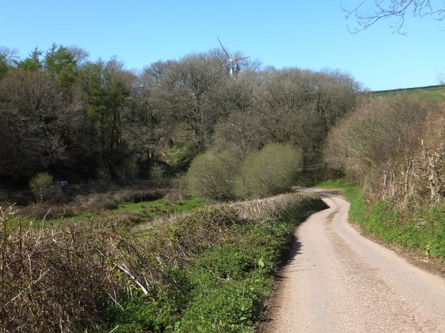
Image: © David Smith Taken: 26 Apr 2013
The road descends the east side of the valley, crosses a stream at an acute-angled bend and climbs the opposite side of the valley. At the stream crossing there is a farm and a former quarry.
Images are licensed for reuse under creativecommons.org/licenses/by-sa/2.0
Image Location


Leaflet Map data © OpenStreetMap
Latitude
51.134179
Longitude
-4.100406