Brighton Street
Introduction
The photograph on this page of Brighton Street by Richard Webb as part of the Geograph project.
The Geograph project started in 2005 with the aim of publishing, organising and preserving representative images for every square kilometre of Great Britain, Ireland and the Isle of Man.

There are currently over 7.5m images from over 14,400 individuals and you can help contribute to the project by visiting https://www.geograph.org.uk
Brighton Street
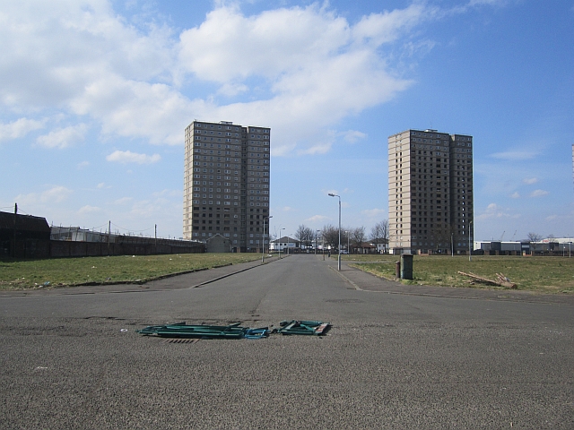
Image: © Richard Webb Taken: 9 Apr 2013
A large area of 20th century houses has been demolished here and the tower blocks (there are three in all) are in the process of being demolished.
Images are licensed for reuse under creativecommons.org/licenses/by-sa/2.0
Image Location
Latitude
55.856091
Longitude
-4.30639