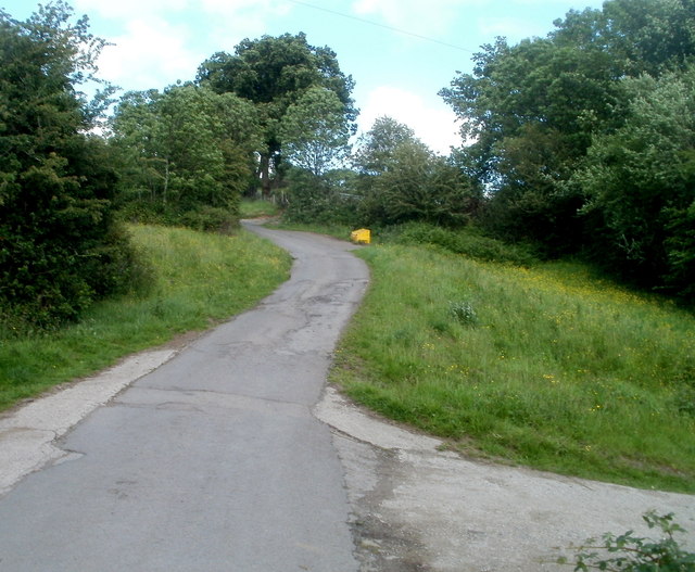
Folly Lane passes the Nant-y-gollen Farm turning east of Trevethin, Pontypool
Introduction
The photograph on this page of Folly Lane passes the Nant-y-gollen Farm turning east of Trevethin, Pontypool by Jaggery as part of the Geograph project.
The Geograph project started in 2005 with the aim of publishing, organising and preserving representative images for every square kilometre of Great Britain, Ireland and the Isle of Man.
There are currently over 7.5m images from over 14,400 individuals and you can help contribute to the project by visiting https://www.geograph.org.uk

Image: © Jaggery Taken: 7 Jun 2011
The right turn is a farm access lane. http://www.geograph.org.uk/photo/3415651 The yellow box on the side of the road ahead contains grit for treating the road surface in icy or snowy weather. This location is 240 metres (nearly 800 ft) above mean sea level.

