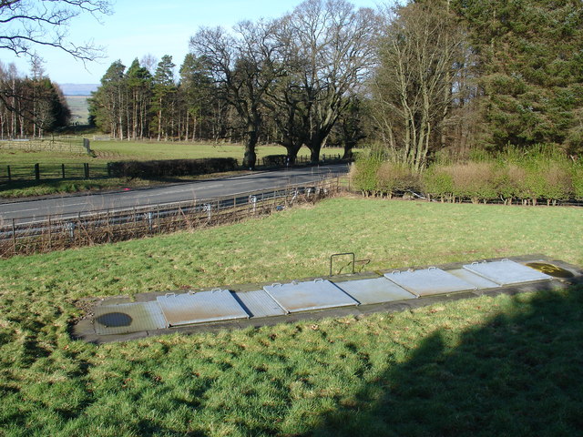
Katrine Aqueduct at Killearn
Introduction
The photograph on this page of Katrine Aqueduct at Killearn by Raymond Okonski as part of the Geograph project.
The Geograph project started in 2005 with the aim of publishing, organising and preserving representative images for every square kilometre of Great Britain, Ireland and the Isle of Man.
There are currently over 7.5m images from over 14,400 individuals and you can help contribute to the project by visiting https://www.geograph.org.uk

Image: © Raymond Okonski Taken: 18 Feb 2007
These four nondescript trapdoors near the main road contain a secret, one that doesn't even appear on the OS map. These service hatches provide access to the underground aqueduct that provides Glasgow's water supply - from Loch Katrine, to Milngavie Water Works. The aqueduct was opened by Queen Victoria at the turn of the century, and was a major engineering feat with most of the work (and route) being invisible (unless you knew where to look). The next access to the aqueduct southwards is within the village of Blanefield.

