Broadmead Cut: view north-east from the Tanyard Bridge in early April
Introduction
The photograph on this page of Broadmead Cut: view north-east from the Tanyard Bridge in early April by Stefan Czapski as part of the Geograph project.
The Geograph project started in 2005 with the aim of publishing, organising and preserving representative images for every square kilometre of Great Britain, Ireland and the Isle of Man.

There are currently over 7.5m images from over 14,400 individuals and you can help contribute to the project by visiting https://www.geograph.org.uk
Broadmead Cut: view north-east from the Tanyard Bridge in early April
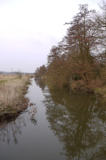
Image: © Stefan Czapski Taken: 10 Apr 2013
The River Wey flows through this stretch of its flood-plain in a number of channels - including the heavily engineered cuts of the Wey Navigations. The marshy area to the left is known as Broadmead, and this channel as Broadmead Cut. At this time of year alder trees contribute subtle colours to the landscape - the cones and catkins showing brown and purplish.
Images are licensed for reuse under creativecommons.org/licenses/by-sa/2.0
Image Location
Latitude
51.297695
Longitude
-0.524477