Bus stop at Mill Lane
Introduction
The photograph on this page of Bus stop at Mill Lane by Graham Horn as part of the Geograph project.
The Geograph project started in 2005 with the aim of publishing, organising and preserving representative images for every square kilometre of Great Britain, Ireland and the Isle of Man.

There are currently over 7.5m images from over 14,400 individuals and you can help contribute to the project by visiting https://www.geograph.org.uk
Bus stop at Mill Lane
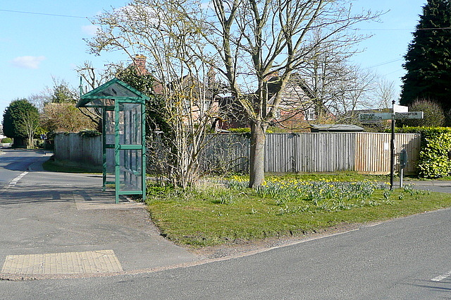
Image: © Graham Horn Taken: 6 Apr 2013
Mill Lane is to the right. Chalgrove High Street, used by the bus route, is straight ahead, which is also the route of Shakespeare's Way, which we are walking.
Images are licensed for reuse under creativecommons.org/licenses/by-sa/2.0
Image Location
Latitude
51.670394
Longitude
-1.088232