Colehill Lane
Introduction
The photograph on this page of Colehill Lane by Nigel Mykura as part of the Geograph project.
The Geograph project started in 2005 with the aim of publishing, organising and preserving representative images for every square kilometre of Great Britain, Ireland and the Isle of Man.

There are currently over 7.5m images from over 14,400 individuals and you can help contribute to the project by visiting https://www.geograph.org.uk
Colehill Lane
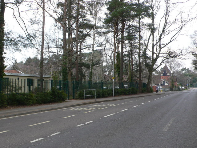
Image: © Nigel Mykura Taken: 28 Mar 2013
Colehill Lane runs north from Colehill Five Ways to the village of Broomhill. On the left is St Michaels School. In the distance can be seen the church Of St Michaels and All Angels, a very beautiful Arts and Crafts designed church.
Images are licensed for reuse under creativecommons.org/licenses/by-sa/2.0
Image Location
Latitude
50.810167
Longitude
-1.966169