A4260 passes The Red Lion Public House
Introduction
The photograph on this page of A4260 passes The Red Lion Public House by Stuart Logan as part of the Geograph project.
The Geograph project started in 2005 with the aim of publishing, organising and preserving representative images for every square kilometre of Great Britain, Ireland and the Isle of Man.

There are currently over 7.5m images from over 14,400 individuals and you can help contribute to the project by visiting https://www.geograph.org.uk
A4260 passes The Red Lion Public House
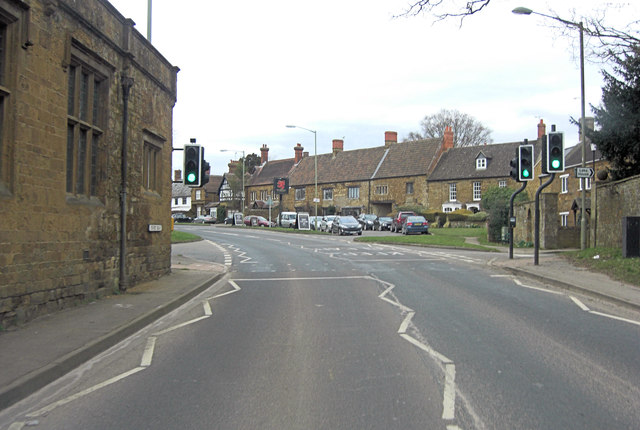
Image: © Stuart Logan Taken: 31 Mar 2013
Originally built in the 17th C the pub was remodelled in the 19th C. It is Grade II listed with English Heritage Building ID: 243834. More details: http://www.britishlistedbuildings.co.uk/en-243834-red-lion-public-house-adderbury-oxfordshire
Images are licensed for reuse under creativecommons.org/licenses/by-sa/2.0
Image Location
Latitude
52.017795
Longitude
-1.310554