SE side of The Square, Upper Cwmbran
Introduction
The photograph on this page of SE side of The Square, Upper Cwmbran by Jaggery as part of the Geograph project.
The Geograph project started in 2005 with the aim of publishing, organising and preserving representative images for every square kilometre of Great Britain, Ireland and the Isle of Man.

There are currently over 7.5m images from over 14,400 individuals and you can help contribute to the project by visiting https://www.geograph.org.uk
SE side of The Square, Upper Cwmbran
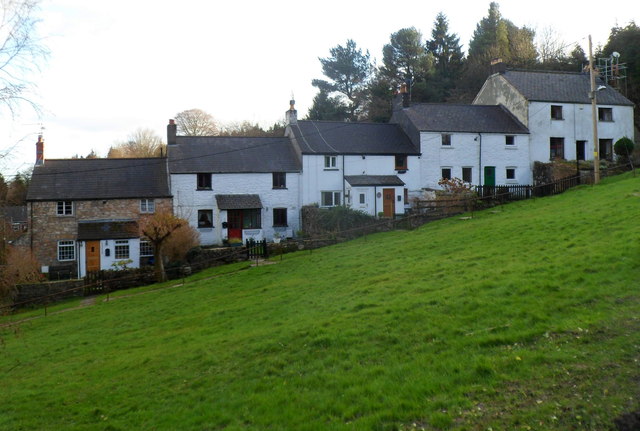
Image: © Jaggery Taken: 7 Jan 2012
This is one of the oldest parts of Cwmbran, dating from c1840. It is also the highest part of the town. This area is about 225 metres (c 740ft) above mean sea level.
Images are licensed for reuse under creativecommons.org/licenses/by-sa/2.0
Image Location
Latitude
51.664796
Longitude
-3.053691