Co-op Funeral Directors
Introduction
The photograph on this page of Co-op Funeral Directors by David Lally as part of the Geograph project.
The Geograph project started in 2005 with the aim of publishing, organising and preserving representative images for every square kilometre of Great Britain, Ireland and the Isle of Man.

There are currently over 7.5m images from over 14,400 individuals and you can help contribute to the project by visiting https://www.geograph.org.uk
Co-op Funeral Directors
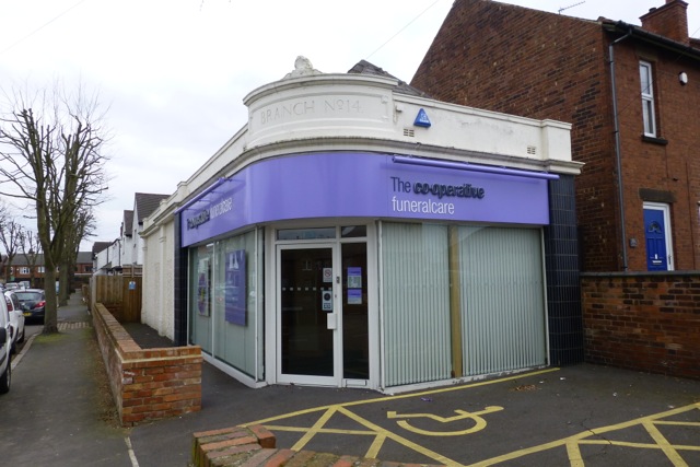
Image: © David Lally Taken: 1 Apr 2013
On the corner of Lower Stanton Road and Catherine Avenue. By the architecture I assume this was built as a Co-op shop (branch No. 14 it would seem). I got chatting to a local who said it had been occupied quite a few different businesses before becoming this branch of the Co-op funeral directors.
Images are licensed for reuse under creativecommons.org/licenses/by-sa/2.0
Image Location
Latitude
52.960901
Longitude
-1.307101